Collaborative Mapping
Leveraging Collaborative Mapping to Improve Responder Information
About this Presentation
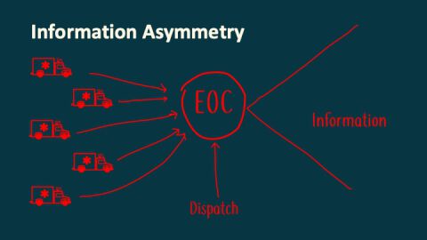
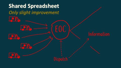
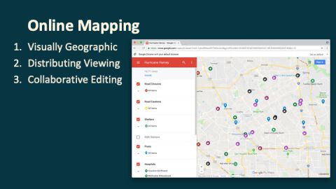
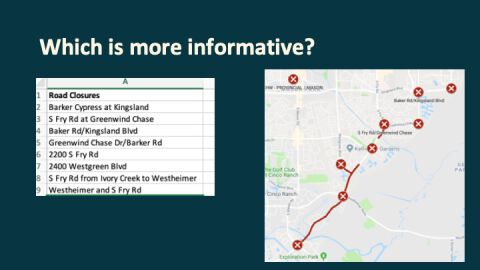
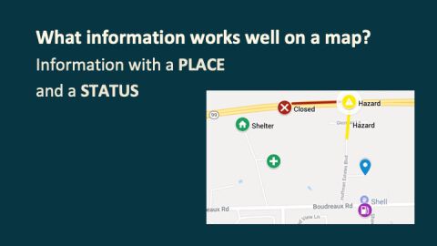
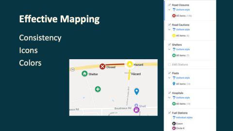
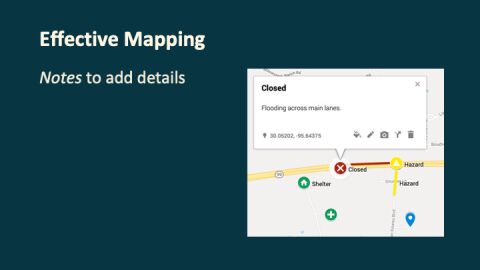
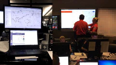
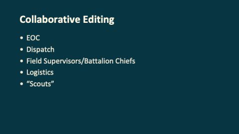
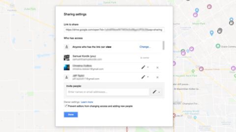
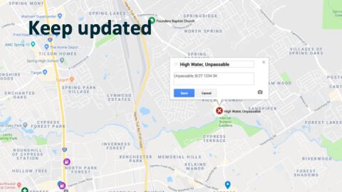
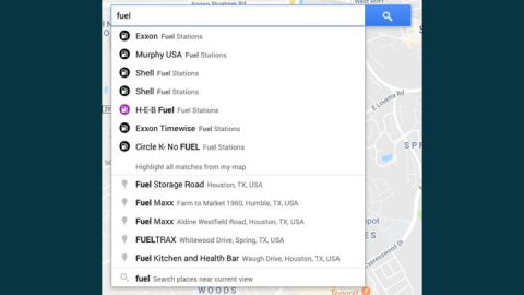
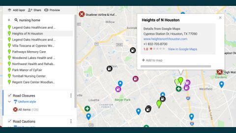
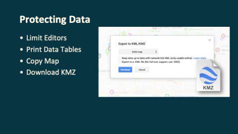
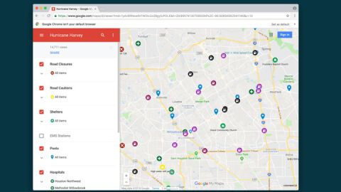
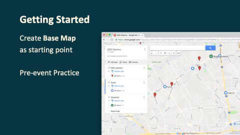
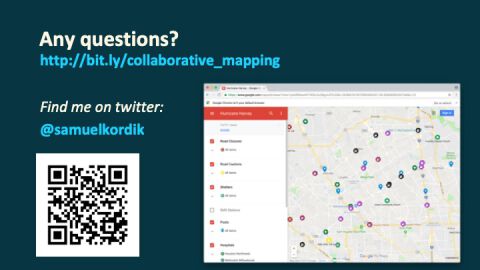
During Hurricane Harvey, we utilized an online map service to build a collaborative mapping tool that provided information on road closures, shelters, fuel stations, and more. This tool was then accessed over 4,000 times by law enforcement, fire, and EMS personnel and provided critical information for responding to an evolving disaster. This presentation discusses how to use free online services to create a collaborative mapping tool, how to mitigate security concerns, and the practical steps necessary to keep the information on the map accurate and current.
About the Presenter
Samuel Kordik is the Senior Clinical Supervisor at Cypress Creek EMS, where he oversees quality of care and education. He has over a decade of experience in EMS and in disaster response across the state of Texas. During Hurricane Harvey, he functioned as Planning section chief in the Cypress Creek EMS EOC. He has also deployed with EMTF in ambulance strike team, ambulance staging manager, and medical incident support team roles.
Cypress Creek EMS is the 911 ambulance service provider for ESD-11, a 177 square mile area in northern Harris County, TX, with about 650,000 residents.
Presentation Slides
<div class="row">
    <div class="col-md">
        <h3>Link to Sample Map</h3>
        <a href="https://drive.google.com/open?id=1ou0V0vy2Qw66d-NNshUkXlmYGXcHD2vl&usp=sharing">Collaborative Mapping Example</a>
    </div>
</div>
